
Data Center Robot Operations
XAVEN and Joyrun Group collaborate on robot-enabled data-center operations, from outdoor patrols to cooling-infrastructure inspection.
Watch video ↓The next era of robot operations
From unattended inspection and connected devices to AI recognition, visual oversight and completed work orders—one operational layer for the field.
The XAVEN approach
A field operation is more than a flight, a robot route or a dashboard. It begins with a mission and ends when the right team can verify and act on what was found.
XAVEN connects heterogeneous devices, spatial context and enterprise workflows so that observations become traceable decisions—not another disconnected stream of data.
XAVEN RobotOps / Robotics middleware
XAVEN RobotOps connects aerial and ground systems in a shared operations layer—bringing device connectivity, mission oversight, AI-assisted recognition and verified work orders into one flow.
Bring drones and docks, mobile robots, cameras and sensors into a shared operational view through supported interfaces.
Schedule repeatable inspections, review AI-assisted alerts and keep findings connected to their visual and location context.
Give operators a shared view of mission status, inspection evidence and work-order progress from alert through resolution.
XAVEN RobotOps
Connect field devices and AI-assisted review with the people responsible for resolution.
Bring robot platforms, drone docks, cameras and sensors into a shared operational view through supported interfaces.
Explore robot applications ↗Schedule repeatable drone and robot patrols, with remote supervision and exceptions routed to an operator for review.
Watch inspection scenes ↗Review image and sensor data for anomalies, with supporting evidence available for operator verification.
Explore multimodal AI ↗View missions, asset status and findings together with maps, live feeds and time-stamped records.
See a field view ↗Turn verified findings into assigned work orders, track the response and retain a record through close-out.
See the response flow ↗How it works
The value is not only in collecting more data. It is in making every mission useful to the people who run the operation.
Connect the devices, route, schedule and inspection objective in one operating plan.
Run unattended patrols while field imagery, telemetry and device status remain visible to the team.
Use AI recognition and visual context to review anomalies with time and location attached.
Create and assign work orders, track the response and retain a record of resolution.
Unattended in the field. Accountable through the full workflow.
Solutions
Two application families connect physical robots and aerial visibility to the same operational intelligence.
Mobile robots that observe, report and support on-site response.
XAVEN and Joyrun Group collaborate on robot-enabled data-center operations, from outdoor patrols to cooling-infrastructure inspection.
Watch video ↓Support routine patrols, remote awareness and operator-led response across controlled sites.
Watch field scenes ↗Coordinate humanoid and mobile robots around supervised production, machine-tending and material-handling workflows.
Watch humanoid workflow ↓Robot-enabled inspection connects outdoor facilities, cooling infrastructure and operator workflows.
Humanoid robots can assist with repetitive handling and machine-tending tasks while XAVEN RobotOps connects mission status, device data and operator oversight in one operational workflow.
Repeatable views over changing, distributed environments.
Follow site progress, safety and quality from survey through handover.
Explore solution ↗Inspect distributed energy assets and help teams prioritize what needs attention.
View energy case ↗Connect aerial awareness, incident review and field response across the city.
Explore solution ↗Security inspection / Field scenes
From noticing an arrival to helping an operator respond, each scene represents a distinct part of a connected security workflow.
The robot observes an approaching vehicle. In a configured site, its camera feed can support a check against approved vehicle records and prompt a security review when needed.
The robot encounters a person on patrol. Where authorized and configured, face matching can help verify a registered visitor or flag an unknown individual for human review.
This scene demonstrates two-way communication with someone in the field. The same operator-led response can deliver a live warning when a site rule, such as a no-smoking policy, is breached.
A net-launcher module is shown in a supervised demonstration, with the deployment replayed in slow motion. It illustrates an optional response capability for authorized public-safety teams, subject to local rules and operational controls.
Site-specific recognition and response depend on configuration, authorization and operating procedures.
Solutions / Smart construction
Construction changes every day. XAVEN connects repeatable field capture with visual context, design information and response workflows so teams can see what changed, verify what matters and keep work moving.
Recurring aerial capture helps teams track construction progress and review conditions across a complex worksite.
Field evidence stays useful from early groundworks to final handover—not just during one inspection.
Document terrain, assess cut-and-fill volumes, create 2D, 3D or panoramic site views, and surface early safety and site-management risks.
Bring recurring drone and robot inspections together with BIM/CAD context to review progress, quality and safety against the design intent.
Preserve time-stamped inspection evidence, site time-lapse, visual changes and as-built models for review and handover.
AI-assisted review can flag safety and quality concerns, then turn verified visual findings into assigned work orders with a traceable response history.
Use geospatial views to estimate area, distance and earthwork volumes. Compare successive captures to check quantities, follow progress and support planning decisions.
Real-world examples spanning energy, linear infrastructure and a major campus build.
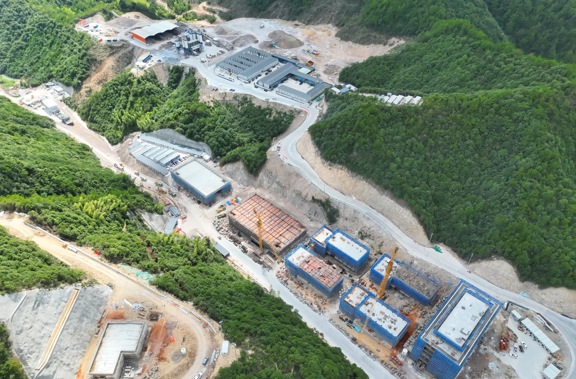
Aerial records supported construction safety, land-disturbance monitoring and follow-up on environmental protection work.
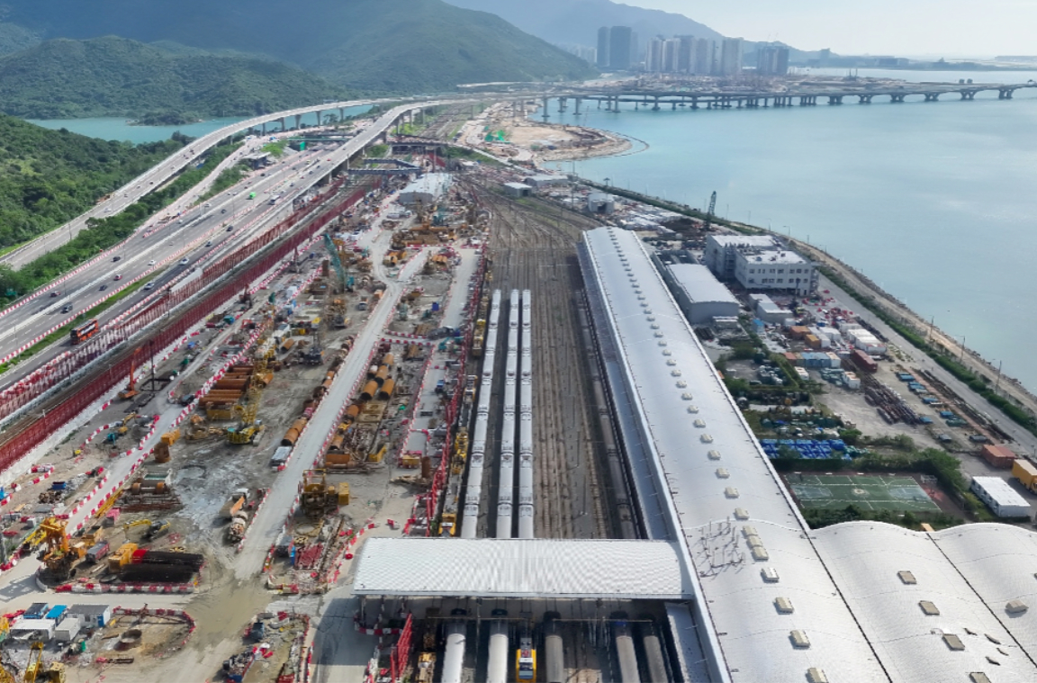
Repeatable site views helped teams follow work packages, identify deviations and coordinate timely adjustments across a long project footprint.
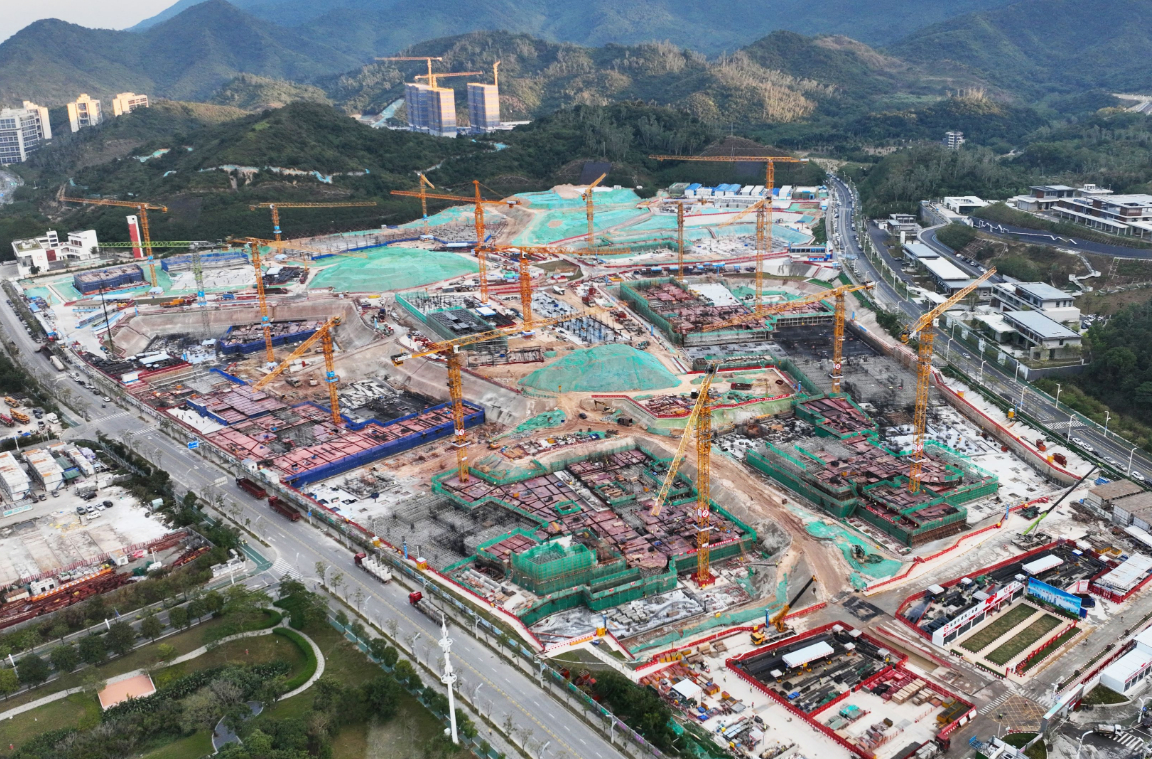
Time-stamped aerial inspection provided a clearer view of construction progress, site conditions and emerging safety issues.
Solutions / Urban governance
From roads and waterways to public spaces, XAVEN brings repeatable field capture, visual context and coordinated response into a shared urban operations workflow.
A continuous aerial view connects roads, public spaces and waterfronts in one changing urban landscape.
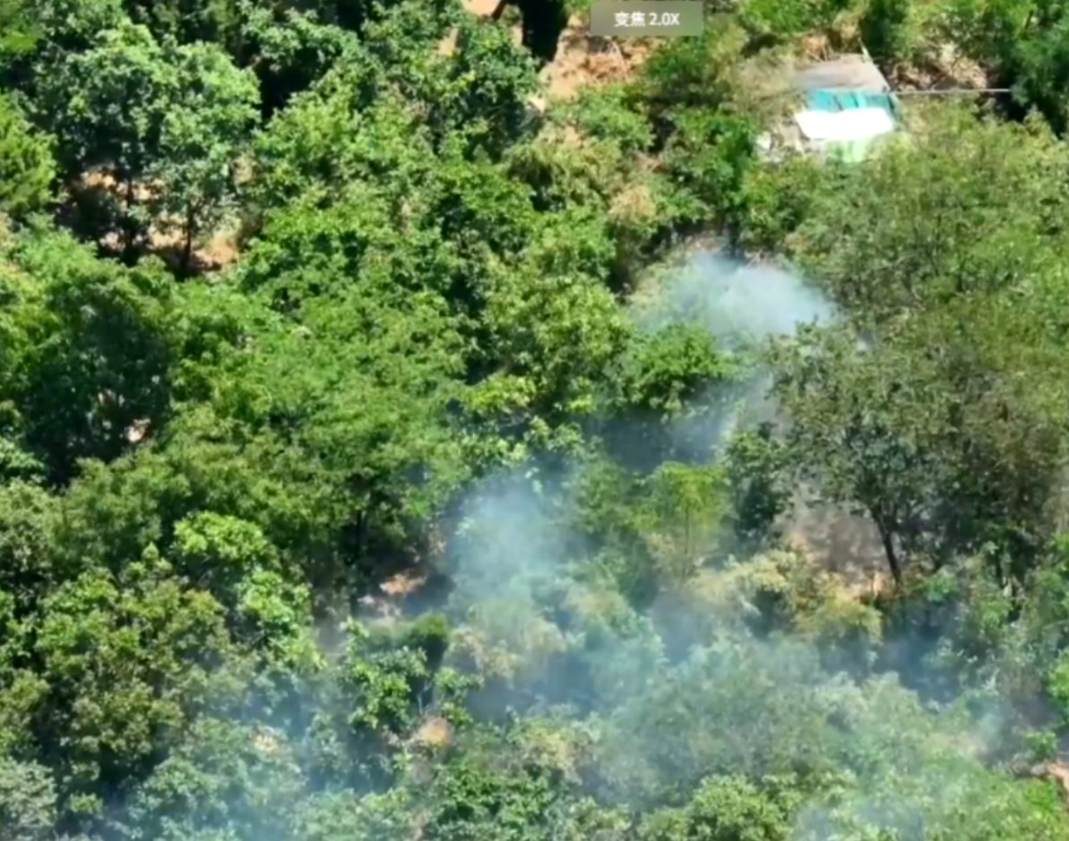
Aerial inspection gives response teams a wider view of smoke, fire conditions and access routes before they enter the scene.
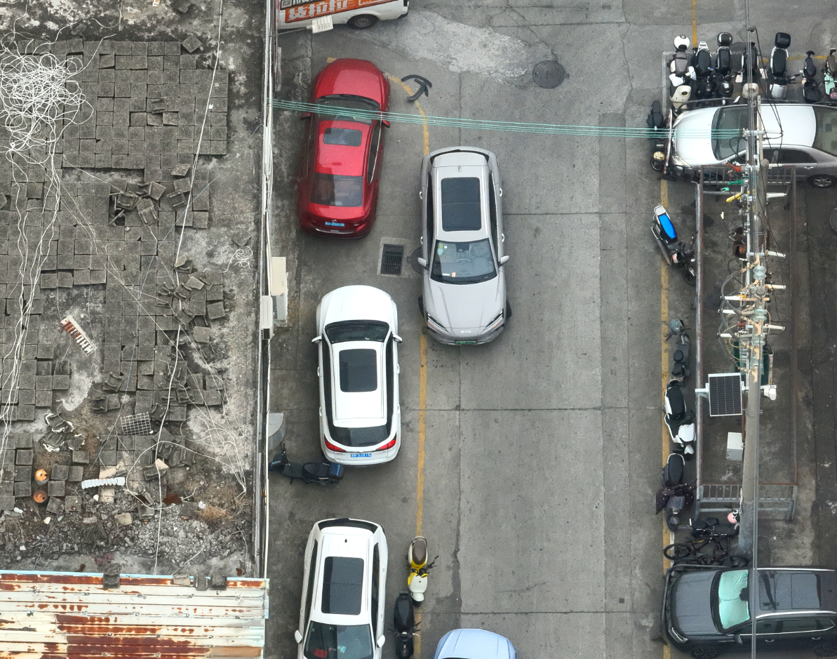
Survey intersections, congestion and accident scenes from above to support faster assessment and coordinated traffic management.
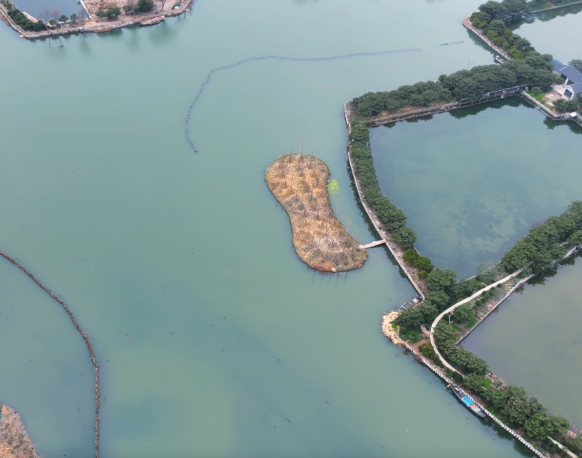
Use recurring visual checks to observe waterways, shoreline conditions and visible environmental changes over time.
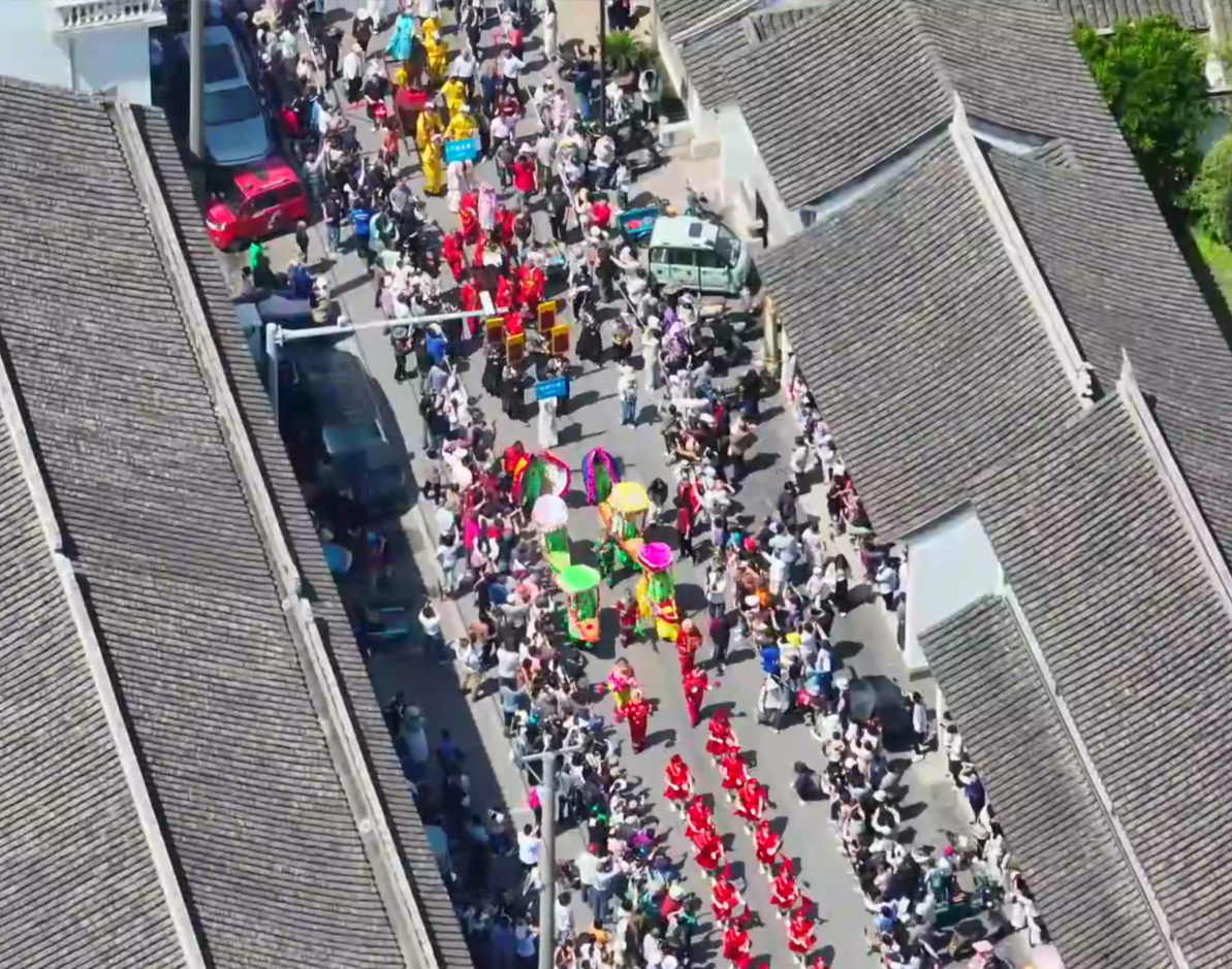
Support event oversight and situational awareness in busy civic spaces while giving operators a shared visual record.
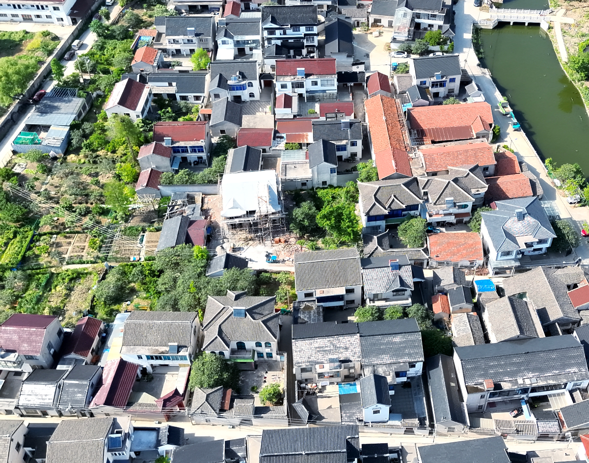
Compare field imagery across construction sites and neighborhoods to help teams review land use and site conditions.
Use an aerial operating picture to support safety planning and field coordination during large public events.
Multimodal AI algorithms bring visual evidence together with location and available sensor context. Configured for each environment, they help surface potential fire and smoke, illegal parking, crowding and waterway changes for operator review.
A practical operating loop connects what teams see, what they verify and what happens next.
Schedule repeatable missions across available aerial and ground devices, with operators retaining a shared view of the field.
Live imagery and location context help teams review incidents and request a closer look when needed.
AI-assisted review can surface potential issues for human confirmation, then connect findings to assigned work orders.
Mapped, time-stamped visual evidence helps teams compare change and follow the response through to closure.
Selected deployments
Four examples of intelligent field operations, from infrastructure and energy to tourism and urban mobility.
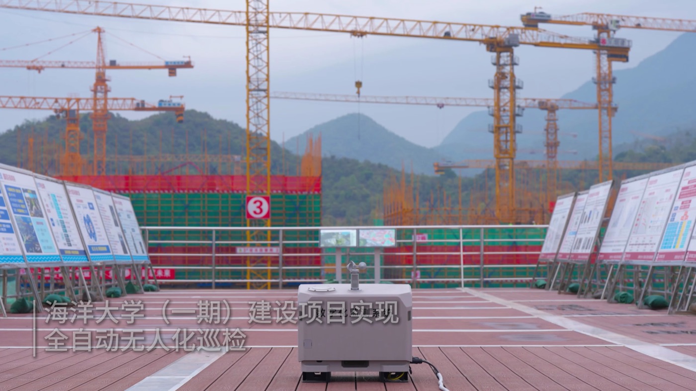
Coordinated aerial operations supported construction oversight and proactive safety monitoring across a large campus project.
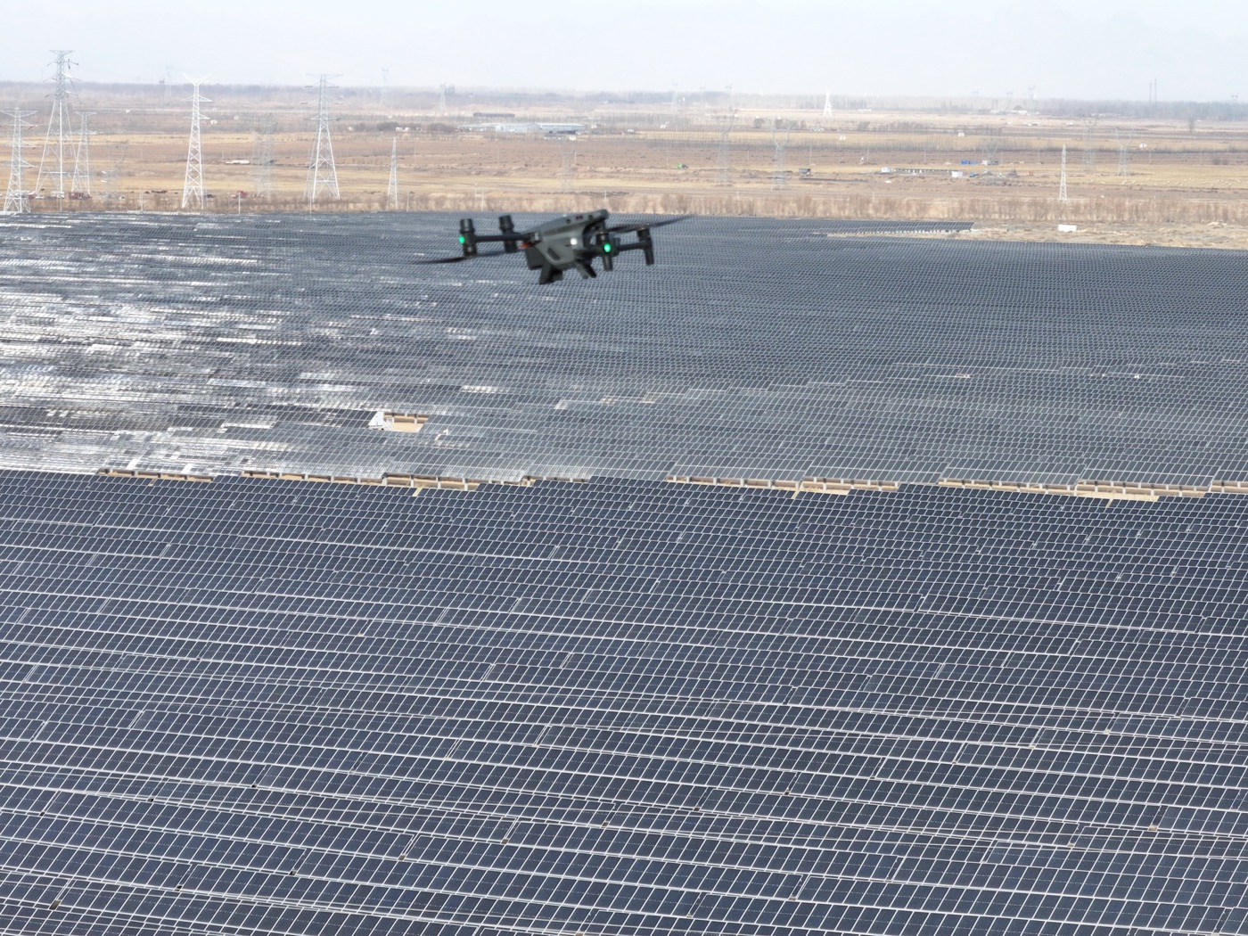
Automated inspection workflows brought repeatable, daily visibility to a 110 MW photovoltaic station.
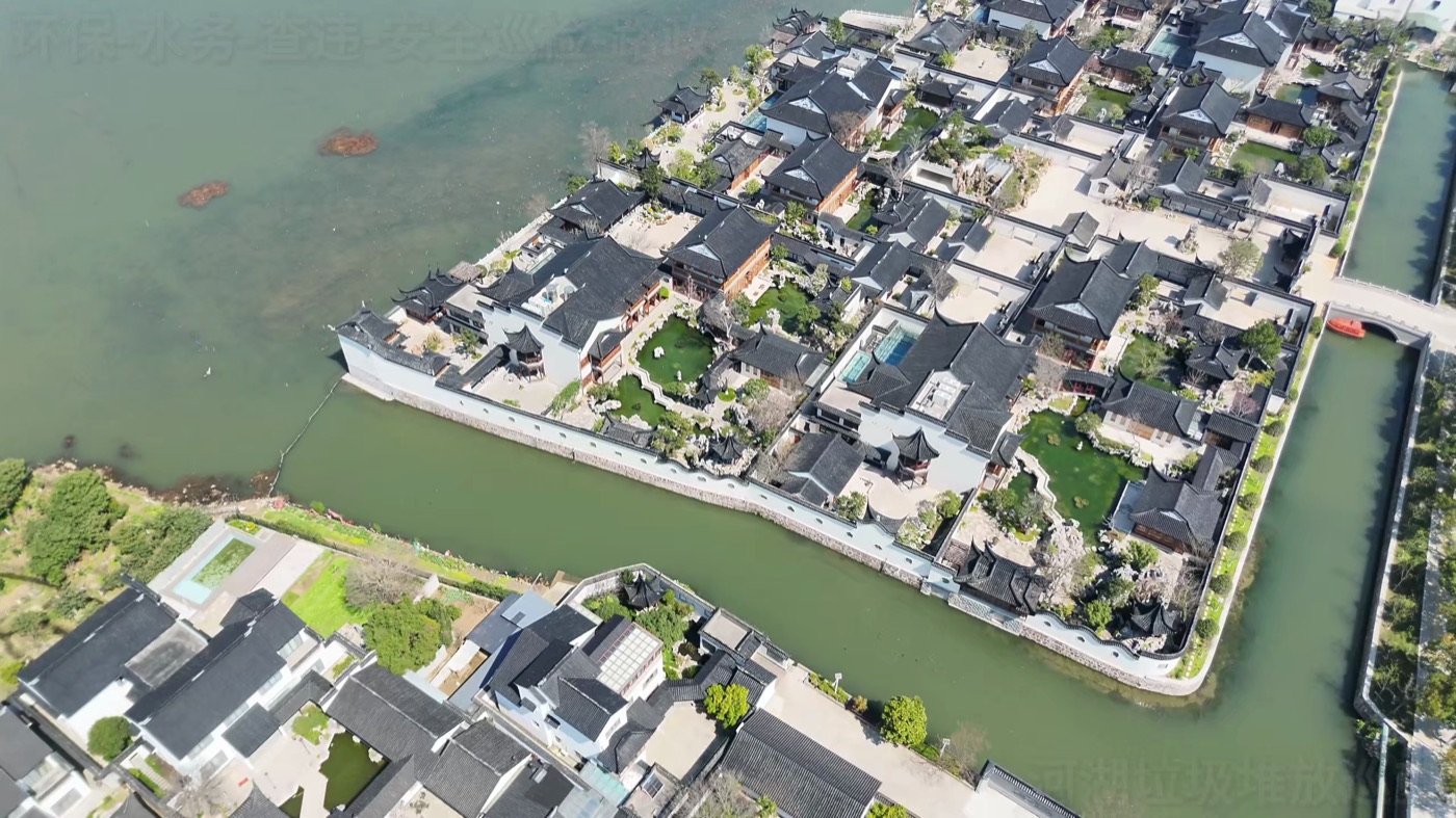
An unattended drone network supported frequent, broad-area inspection at a national tourism resort.
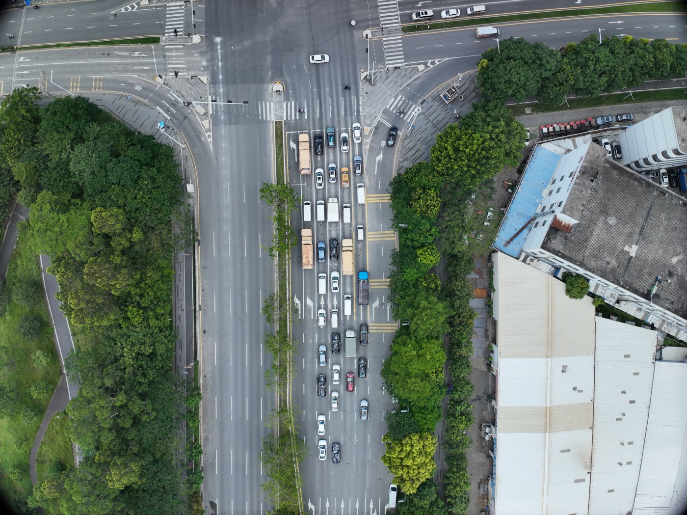
Aerial situational awareness supported traffic governance and rapid survey of road incidents.
About XAVEN
XAVEN Systems is a Singapore-based technology company focused on robotics middleware, edge intelligence and AI-enabled operations. We work at the intersection of physical machines and digital systems, making complex technologies usable in real operational settings.
Our ambition is simple: help organizations deploy, coordinate and improve intelligent systems in the environments that matter most.
Our team brings together expertise in enterprise AI architecture, robotic perception and control, hardware and product engineering, and real-world solution integration.
From research to operationsWe connect research, software, hardware and field delivery to build intelligent systems for complex operational environments.
Let's connect
Tell us about your environment, your assets and the work you want to make smarter.
Start a conversation